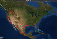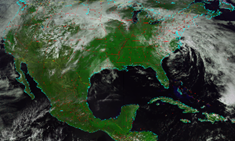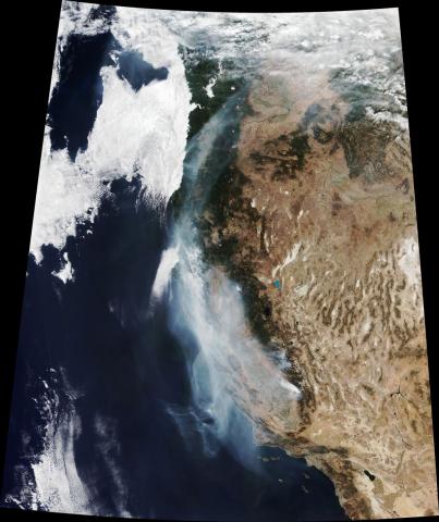
GST provides a variety of satellite mission concepts, sensor development, and instrument calibration and validation (cal/val), and provides data downlink, data capture, data storage, preprocessing, and data analysis. Examples include the first system to receive direct broadcast data from MODIS and VIIRS for NASA’s Direct Readout Laboratory and proposed and the Fire Information for Resource Management System (FIRMS) that distributes Near Real-Time active fire data within three hours of satellite overpass.
- Provide satellite mission concepts, sensor development, and instrument calibration/validation (cal/val)
- Provide data downlink, data capture, data storage, preprocessing, and data analysis
- Proposed and helped design a tree height cellphone app for volunteer observers that provides geolocated data as ground truth for ICESAT-2 and GEDI sensors
- Developed a cell phone app that displays lightning detected by the Geostationary Lightning Mapper, the first operational lightning mapper flown in geostationary orbit.
- Proposed and helped design Fire Information for Resource Management System to distribute Near Real-Time active fire data within three hours of satellite overpass
- Developed first system to receive direct broadcast data from MODIS/VIIRS for NASA Direct Readout Laboratory
- Define access to data and remote sensing capabilities at NASA, USGS, and NOAA facilities
- Support NWS satellite readiness tasks, including requirements, product exploitation, and lifecycle support

